We utilize Robotic Total Stations for precision in areas where GNSS signals are blocked, combined with RTK systems for efficient control over large sites. This hybrid approach ensures your data is accurate regardless of the terrain.
ADVANCED GEOMATICS TECHNOLOGY
Need a complete digital twin of your asset?
Our Terrestrial Laser Scanners capture every detail of building interiors, complex pump stations, and bridges. This creates a comprehensive 3D digital copy, ensuring that nothing is missed during the design or as-built phase.”
How can we map large areas quickly?
Using UAVs (Drones) and Aerial LiDAR, we can capture high-resolution orthophotos and volumetric data over vast areas—like quarries or transmission corridors—safely and efficiently.

High-Precision Total Stations, GNSS, and CAD
Integration
Our field crews utilize a hybrid workflow of robotic Total Stations for millimeter-level precision and survey-grade GNSS for rapid site coverage. All field data is seamlessly integrated into AutoCAD workflows, ensuring that the drawings we deliver—whether for construction layout or legal boundaries—align perfectly with your design intent.
Terrestrial Laser Scanning
We capture comprehensive 3D ‘Digital Twins’ of complex facilities, bridges, and pump stations using advanced LiDAR scanning. This technology freezes reality in time, allowing us to generate highly detailed point clouds and as-built models. This eliminates the need for return site visits and allows for clash detection before fabrication even begins.
Unmanned Aerial Vehicle (UAV)
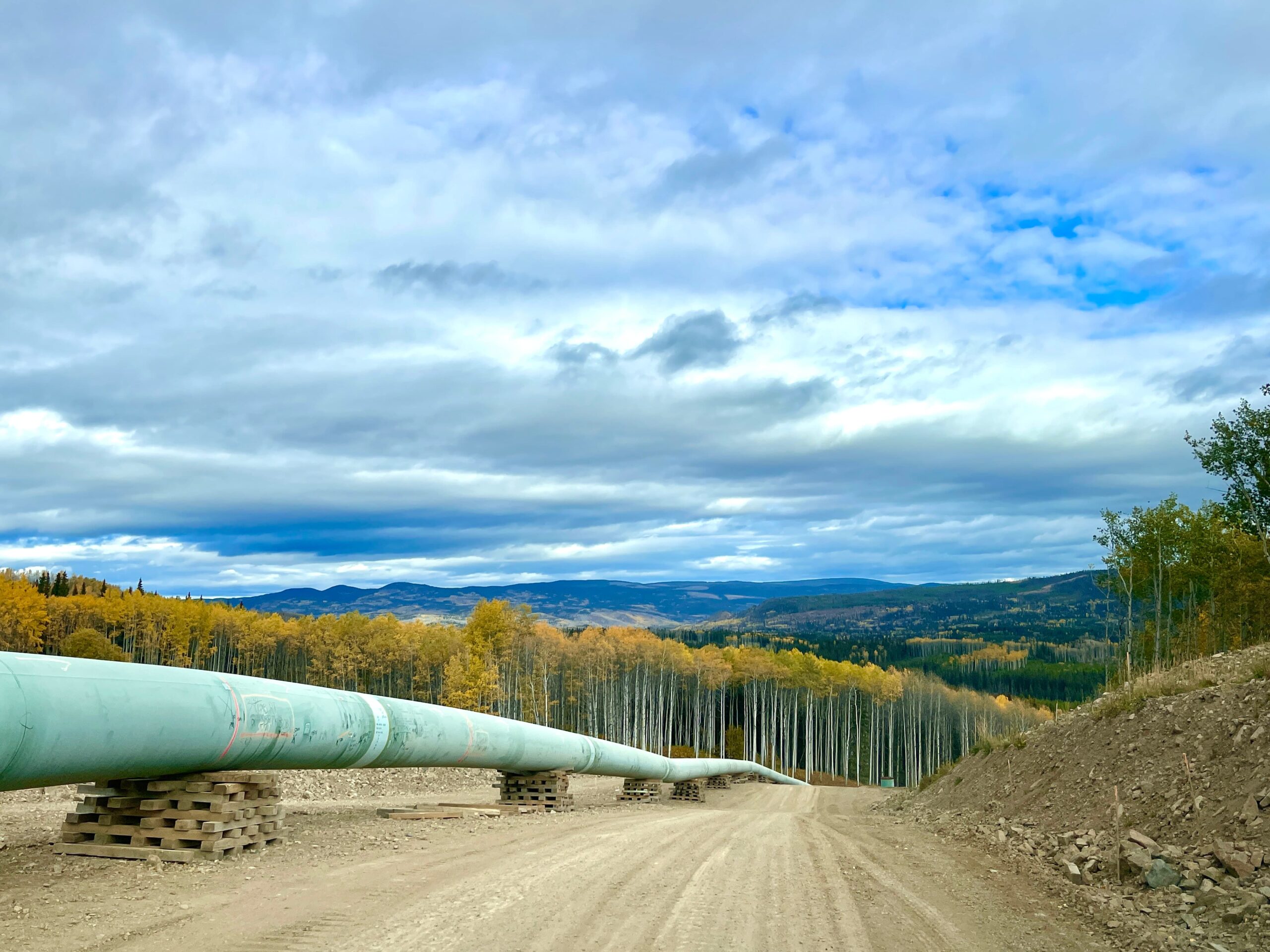
For large-scale mapping and volumetric surveys, our UAV fleet provides a safe and efficient alternative to ground crews. We capture high-resolution orthophotos and terrain models over vast areas—such as pipelines or quarries—delivering actionable data in a fraction of the time required by traditional methods.
Autonomous Continuous Monitoring
When site stability is critical, we deploy automated monitoring systems that track ground movement in real-time. From slope stability sensors to structural deformation monitors, our autonomous units provide 24/7 data streams, instantly alerting project stakeholders to any shifts that could compromise safety or integrity.

