Delivering precise survey data and construction support for complex energy projects across Western Canada. We turn field reality into actionable engineering insights.
Measurements Matter
Delivering precise survey data and construction support for complex energy projects across Western Canada.
Measurements Matter
Professional surveying services tailored to your timeline.


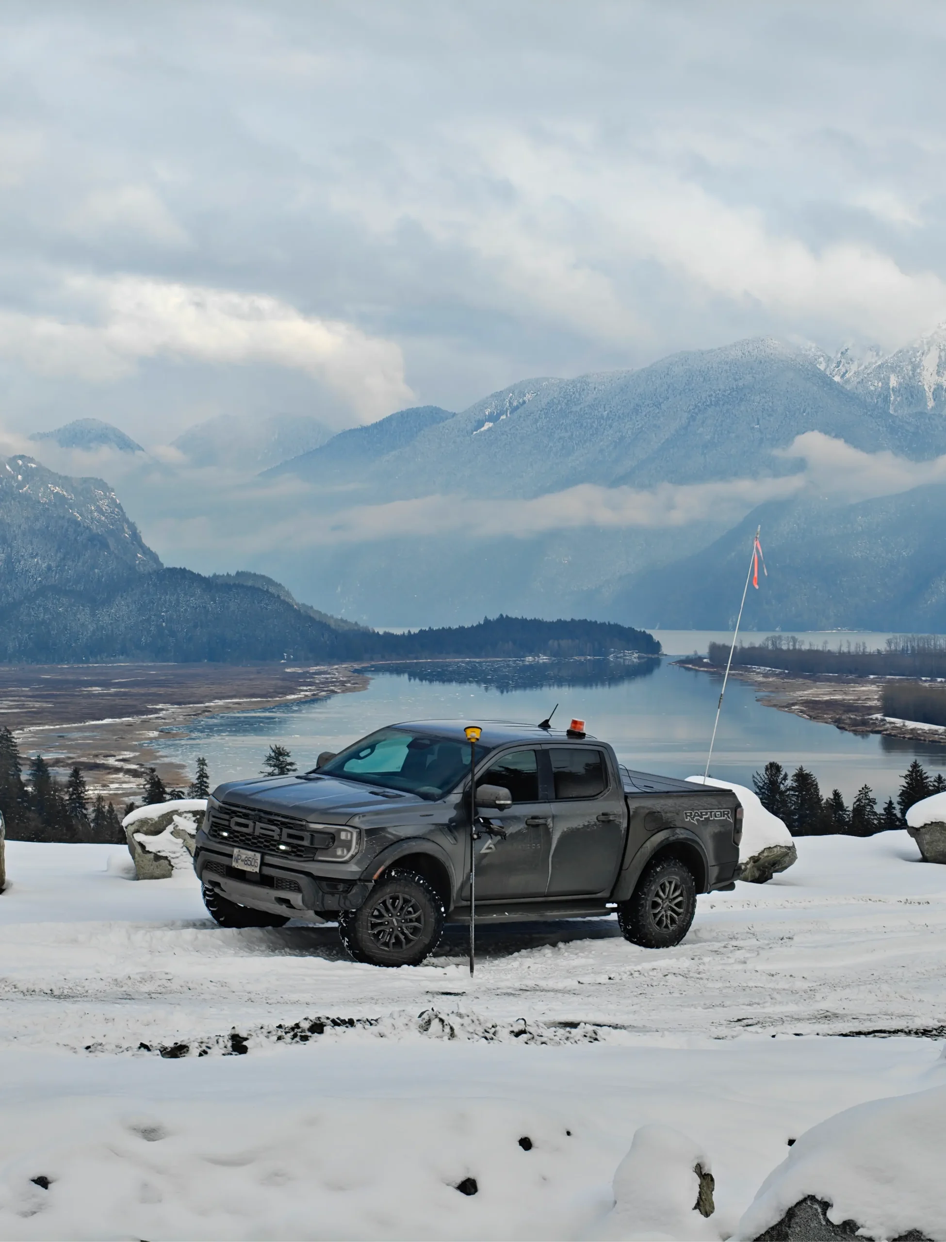
Built on Precision
The Integrity Standard
At Integrity Geomatics, we believe that high-precision data shouldn’t be slowed down by red tape. We provide agile surveying solutions tailored to the speed of your project, whether it’s a residential development, a municipal upgrade, or a quick site verification. We mobilize fast to keep your timeline moving.
We combine field-tested experience with state-of-the-art technology to eliminate guesswork before you break ground. Our streamlined workflows turn field data into actionable plans efficiently, ensuring you have the reliable information you need to build with confidence and avoid costly rework
Safety First
We operate with industry-leading safety protocols to ensure every crew member returns home safe.
Advanced Technology
Utilizing the latest GNSS and robotic total stations to deliver millimeter-accurate data in any terrain.
Safety First
We operate with industry-leading safety protocols to ensure every crew member returns home safe.
Advanced Technology
Utilizing the latest GNSS and robotic total stations to deliver millimeter-accurate data in any terrain.
Trusted Partner for Western Canada’s Major Infrastructure Projects


Lost Time Incidents
0
Uncompromising commitment to safety on every job site.
Pipelines Surveyed
500+KM
Delivering precise data for major energy infrastructure projects.
Field-to-Finish Quality
100%
Data you can trust, delivered on your schedule.
Lost Time Incidents
0
Uncompromising commitment to safety.
Field-to-Finish Quality
500+KM
Delivering precise data.
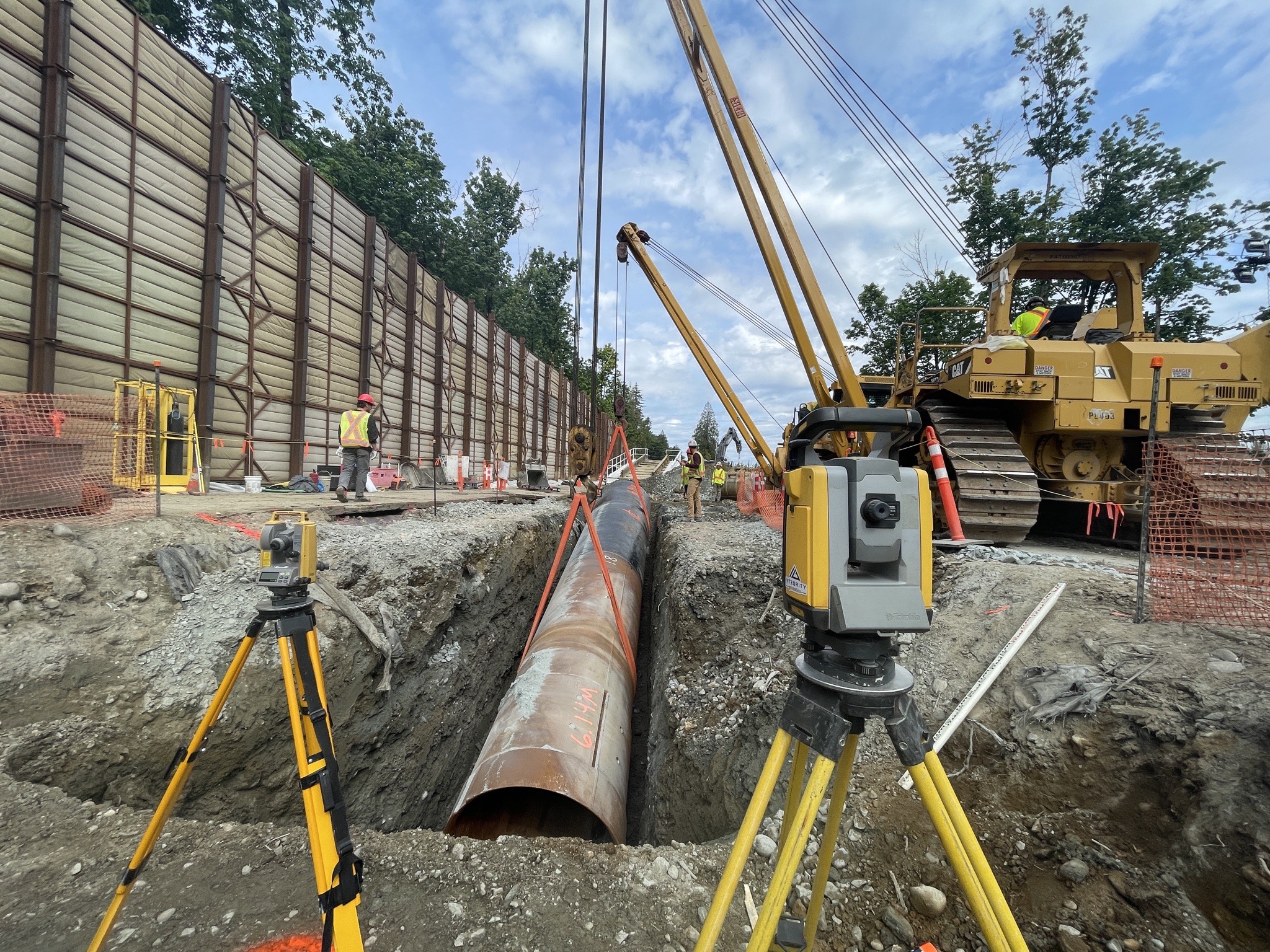
Pipeline & Integrity
Comprehensive survey support for the energy sector. From centerline layout and depth-of-cover analysis to seam weld tracking and integrity digs, we ensure your assets are mapped with millimeter precision.
Construction Support

Bridging the gap between design and reality. We provide earthworks staking, pile layout, and volume calculations to keep your civil projects moving efficiently and accurately.
Topographic & Site Surveys
Topographic & Site Surveys

Rapid mobilization for land developers and municipal contractors. We deliver detailed site plans and terrain modeling to help you make critical decisions before breaking ground.
OUR CORE VALUES
Precision You Can Build On.
We don't just deliver data; we deliver certainty. Whether it is a complex facility retrofit or a remote pipeline crossing, our teams are committed to ensuring your design matches reality—safely, accurately, and without compromise.
A Little Of Our Story
Bridging the Gap Between Design and Reality.
Integrity Geomatics was founded in 2020 to solve a critical industry problem: the disconnect between office planning and field conditions. Today, we have grown into a premier partner for Western Canada’s energy sector by proving that better surveys prevent costly rework.

