Hit enter to search or ESC to close
Close Search
Integrity GeomaticsIntegrity GeomaticsIntegrity GeomaticsIntegrity Geomatics
Menu
  • About

    OUR MISSION

    MEET THE TEAM

    INDIGENOUS INCLUSION

    SAFETY & HSE

  • Services

    Pipeline & Integrity

    CORE SERVICES


    › Const. Survey

    › Integrity Digs

    › HDD & Tunnelling

    › Trenchless Crossing

    › Automated Monitoring

    Construction Support

    CORE SERVICES


    › Const. Layout

    › Civil & Facility

    › Machine Control

    › Earthworks

    › Trenching

    Site & Legal Surveys

    CORE SERVICES


    › Legal Surveys

    › Topo Mapping

    › Drone LiDAR

    › Laser Scanning

    › Eng. Support
  • Technology
  • Contact
  • Request an Estimate
Integrity Geomatics

WEST COAST TERMINAL EXPANSION

PROJECT OVERVIEW

NAVIGATING COMPLEXITY: ZERO DOWNTIME.

The Challenge: Retrofitting modern infrastructure into a 50-year-old active facility presents unique risks. The client needed to install twelve new storage tanks and distribution lines within a congested site, all without disrupting daily facility operations or compromising safety.

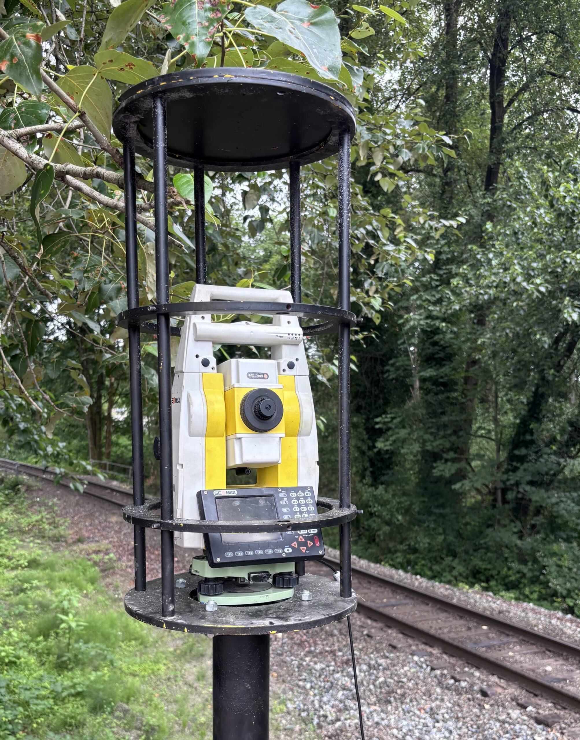
The Solution: Integrity Geomatics deployed a hybrid workflow of 3D Terrestrial Laser Scanning and conventional high-precision survey. By creating a millimeter-accurate ‘Digital Twin’ of the existing plant before design began, we allowed the engineering team to pre-fabricate spools with confidence. We identified over 40 potential clashes before construction started, saving weeks of field rework

PRECISION FABRICATION & SEAMLESS TIE-INS.

The density of existing infrastructure shown above made traditional manual field measurements nearly impossible and highly risky. Our 3D laser scanning data provided the engineering team with absolute spatial certainty of every flange, bolt, and beam.

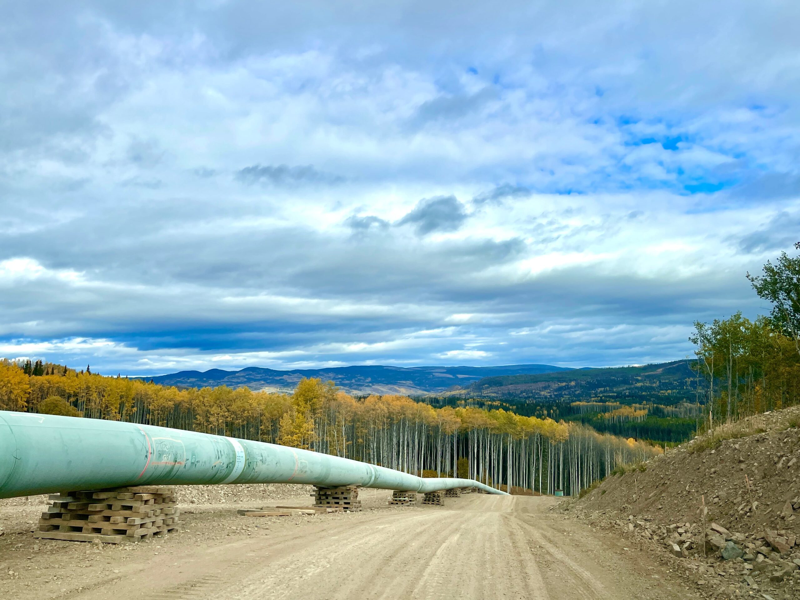
This “Digital Twin” reality capture allowed for over 90% of the new pipe spools to be pre-fabricated offsite in a controlled environment. When delivered to the field, the critical tie-ins fit perfectly the first time—eliminating the need for hazardous field cutting and drastically reducing the installation schedule.

Spec Sheet

  • Client: Confidential Energy Major

  • Location: Edmonton, AB

  • Services: Laser Scanning, Civil Layout

  • Year: 2024-2025

READY TO MOBILIZE?

From simple site verifications to complex pipeline integrity. Let’s get your project measured.

Request an Estimate

Integrity Geomatics is Western Canada’s partner for precision surveying and pipeline integrity. We combine state-of-the-art field technology with verified data workflows to support projects of any scale—from municipal developments to major energy infrastructure.

Quick links

Home
About
Services
Technology
Contact Us
Privacy Policy

Connect

T: +1 778 980 6799

E: info@integritygeomatics.com

© 2026 Integrity Geomatics. Site by Streamsynth.

Close Menu
  • About
  • Technology
  • Services
    • Pipeline & Integrity
    • Construction Support
    • Topographic & Site Surveys
  • Contact
  • Request an Estimate