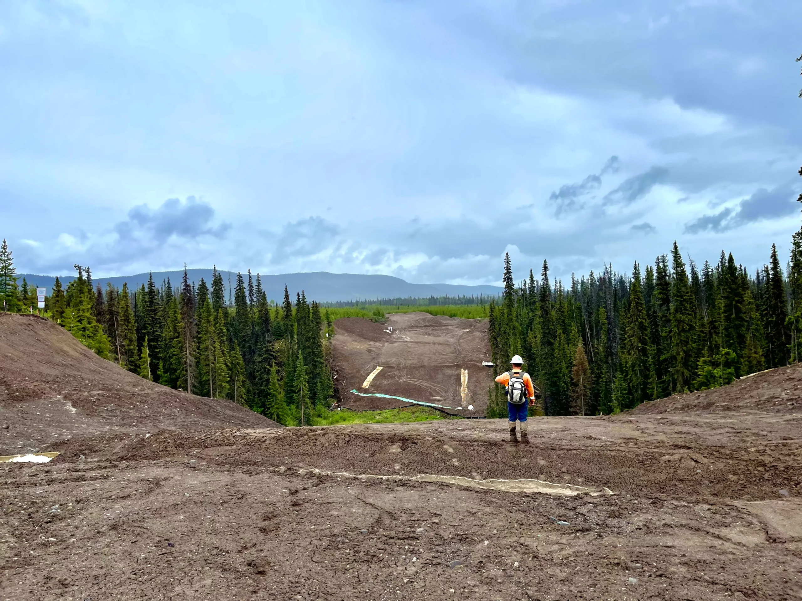
In the complex world of energy and infrastructure, measurements matter. At Integrity Geomatics, we specialize in taking engineering designs off the page and into the field with millimeter-precision. From remote pipeline corridors to active municipal construction sites, our crews are equipped to handle any environment.


BUILT ON PRECISION. DEFINED BY INTEGRITY.
Our field-to-finish workflow ensures that nothing is lost in translation. We leverage a hybrid fleet of conventional survey gear and autonomous monitoring tech to provide you with a complete picture of your site, helping you make critical decisions before you break ground.

BUILT ON PRECISION. DEFINED BY INTEGRITY.
In the complex world of energy and infrastructure, measurements matter. At Integrity Geomatics, we specialize in taking engineering designs off the page and into the field with millimeter-precision. From remote pipeline corridors to active municipal construction sites, our crews are equipped to handle any environment.
Our field-to-finish workflow ensures that nothing is lost in translation. We leverage a hybrid fleet of conventional survey gear and autonomous monitoring tech to provide you with a complete picture of your site, helping you make critical decisions before you break ground.
Meet The Team
Led by registered professionals and field experts. We combine decades of technical experience with a hands-on approach to deliver precise survey data for Western Canada’s most complex energy and infrastructure projects.
”Integrity Geomatics have been qualified, reliable, accommodating, uncompromising, and safety-conscious. The contributions of Richard's team are significant, and the quality of their work speaks for itself. They come with my highest recommendation.
Brett VergesProject Manager, Michels Canada Co.

CEO, Founder
Richard Edmonds, P.Surv, ALS

Alberta Branch Manager
Nathan Bablitz, P.Surv, ALS

Geomatics Project Manager
Jordan Sullivan, EIT

Geomatics Project Manager
Rick Cox, Advanced RPAS
At Integrity Geomatics, we are fortunate to work alongside our indigenous partners to tackle tough problems. We proudly partnered with Cheam First Nation on Transmoutain Pipeline Expansion Project and continue to collaborate on projects in the Fraser Valley.

At Integrity Geomatics, we are fortunate to work alongside our indigenous partners to tackle tough problems. We proudly partnered with Cheam First Nation on Transmoutain Pipeline Expansion Project and continue to collaborate on projects in the Fraser Valley.
ADVANCED ROBOTIC SURVEYING
Technology allows us to work faster, with more accuracy, and to provide a delivery that clients can rely on.
All data is processed and integrated into AutoCAD workflows to produce clear, industry-standard drawings and models that align design intent with constructed conditions.
100
+
100
+
Major Infrastructure
Projects
Providing critical survey support for Western Canada’s largest initiatives, including the Trans Mountain Expansion, Coastal Gas Link, and the Metro Vancouver Water Pipe project.
Sed aliqua commodo aliquet.

Safety & Compliance
Safety is not just a requirement; it is a core business value. From daily hazard assessments to site-specific safety plans, we are committed to providing a safe work environment for our employees, clients, and the public.
ZERO
Lost Time Injuries
0.00%
TRIF Rating
Across
82.000
+
Hours Worked.
Across
82.000
+
Hours Worked.
Safety & Compliance
Safety is not just a requirement; it is a core business value. From daily hazard assessments to site-specific safety plans, we are committed to providing a safe work environment for our employees, clients, and the public.
ZERO
Lost Time Injuries
0.00%
TRIF Rating
Across
82.000
+
Hours Worked.

